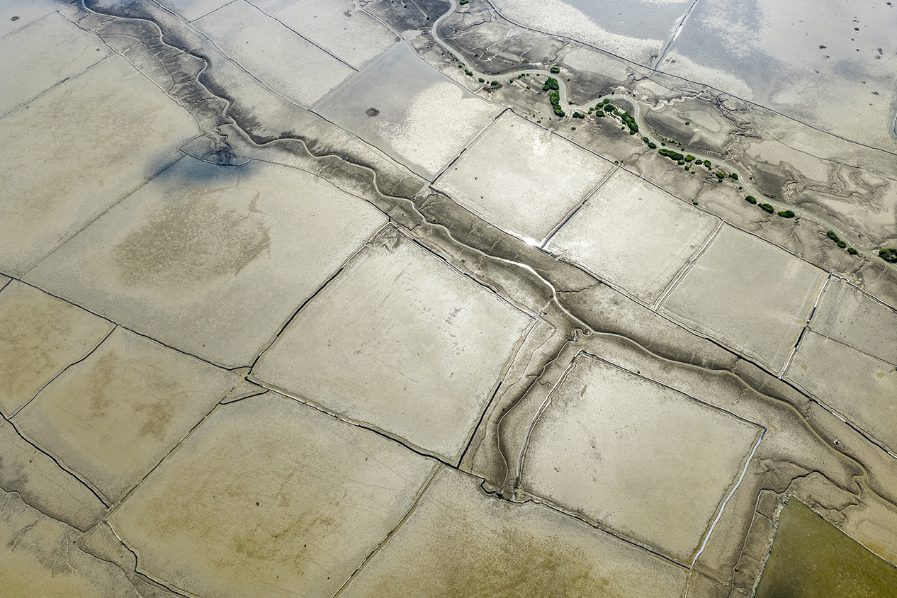
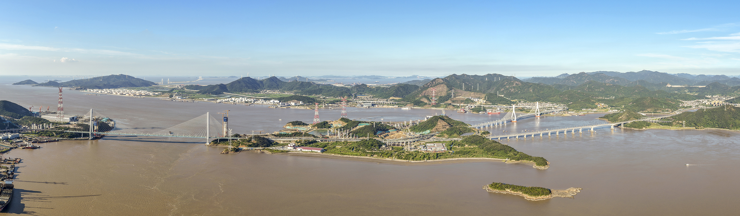
Hangzhou Bay is located in the western part of the East China Sea on the middle-eastern coast of China, at 30°27’ north latitude and 121°08’ east longitude. It borders Shanghai to the north, Ningbo City in Zhejiang Province to the south, the Ningbo-Shaoxing Plain to the west, and the Zhoushan Islands to the east. It is a funnel-shaped estuary formed by the Qiantang River flowing into the East China Sea. Hangzhou Bay has a coastline of approximately 258 kilometres and a sea area of approximately 5,000 square kilometres. Its seabed is flat, shallow, with high sediment content and abundant mudflat resources. These mudflats and intertidal zones serve as spawning, feeding and nursery grounds for numerous marine species, and crucial stopover points for millions of migratory birds along the East Asian-Australasian Flyway.
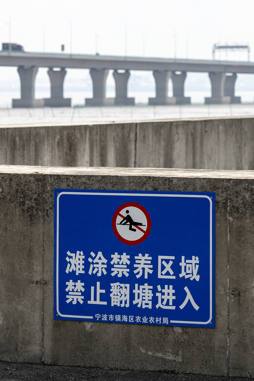
The total area of land reclamation in Hangzhou Bay reaches thousands of square kilometres, which has fundamentally changed its geographical outline and economic pattern. For example, the Nanhui New District in Shanghai covers a total area of 152 square kilometres, 60% of which is reclaimed land. Between 2003 and 2017, Jiaxing City, located on the northern shore of the bay, added more than 200 square kilometres of new land through reclamation. Zhejiang Province alone has reclaimed over 1,000 square kilometres. This is a long-term process driven by historical survival needs for agricultural land, and gradually evolves into one dominated by modern economic and strategic demands. Although land reclamation in Hangzhou Bay was not initially undertaken for the Strategy for integrated development of the Yangtze River Delta (one of the highest-level national strategies), it has now become a key carrier for the implementation of the strategy. This strategy covers Shanghai Municipality, Jiangsu, Zhejiang and Anhui provinces, which together account for about 2.2% of China’s land area, support about 16.7% of the national population and generate nearly a quarter of the national economic output. It is one of the most economically vibrant, open and innovative regions in China. The core objective of this strategy is to break down administrative barriers and promote a closer ‘community of shared future’ among the three provinces and one municipality, achieving coordinated planning, industrial collaboration, infrastructure connectivity, shared public services, and joint environmental governance.
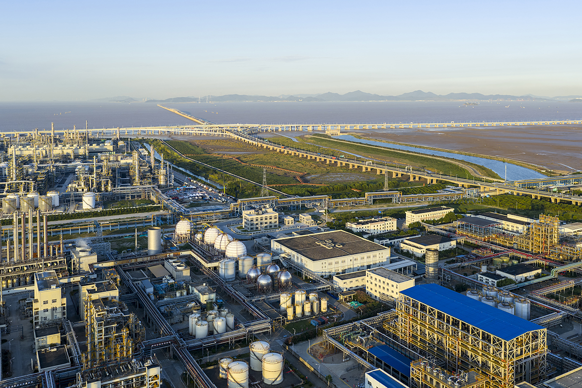
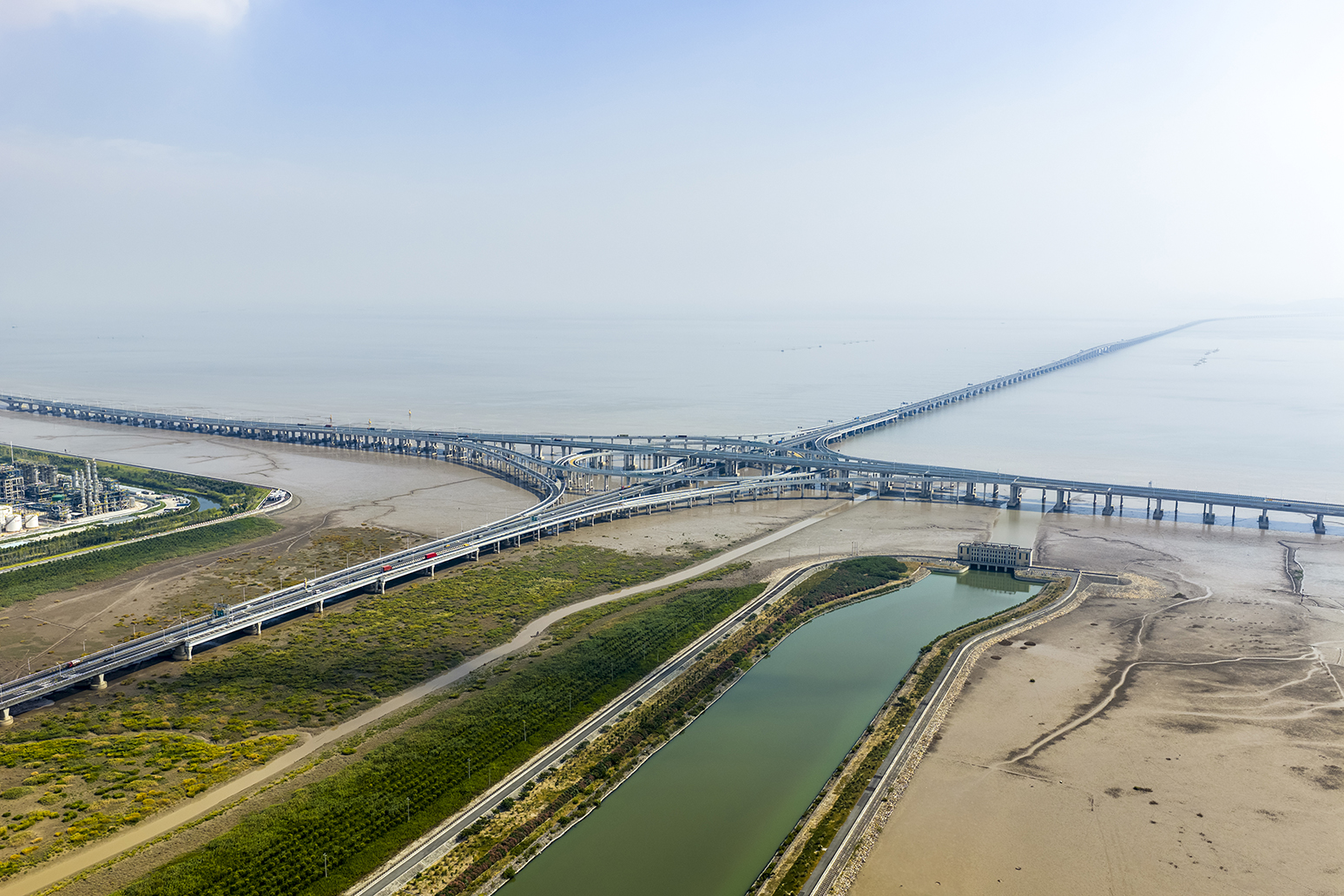
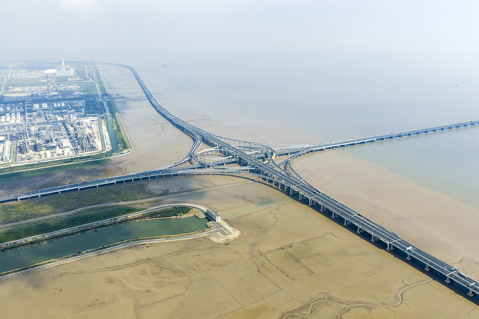
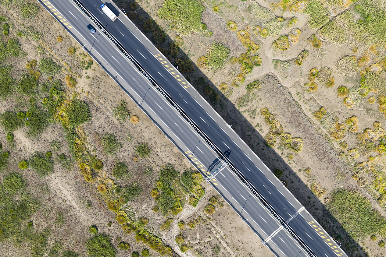
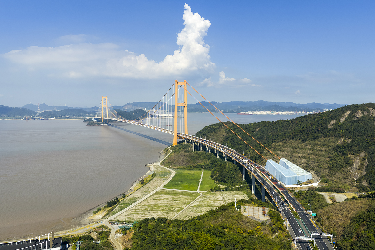
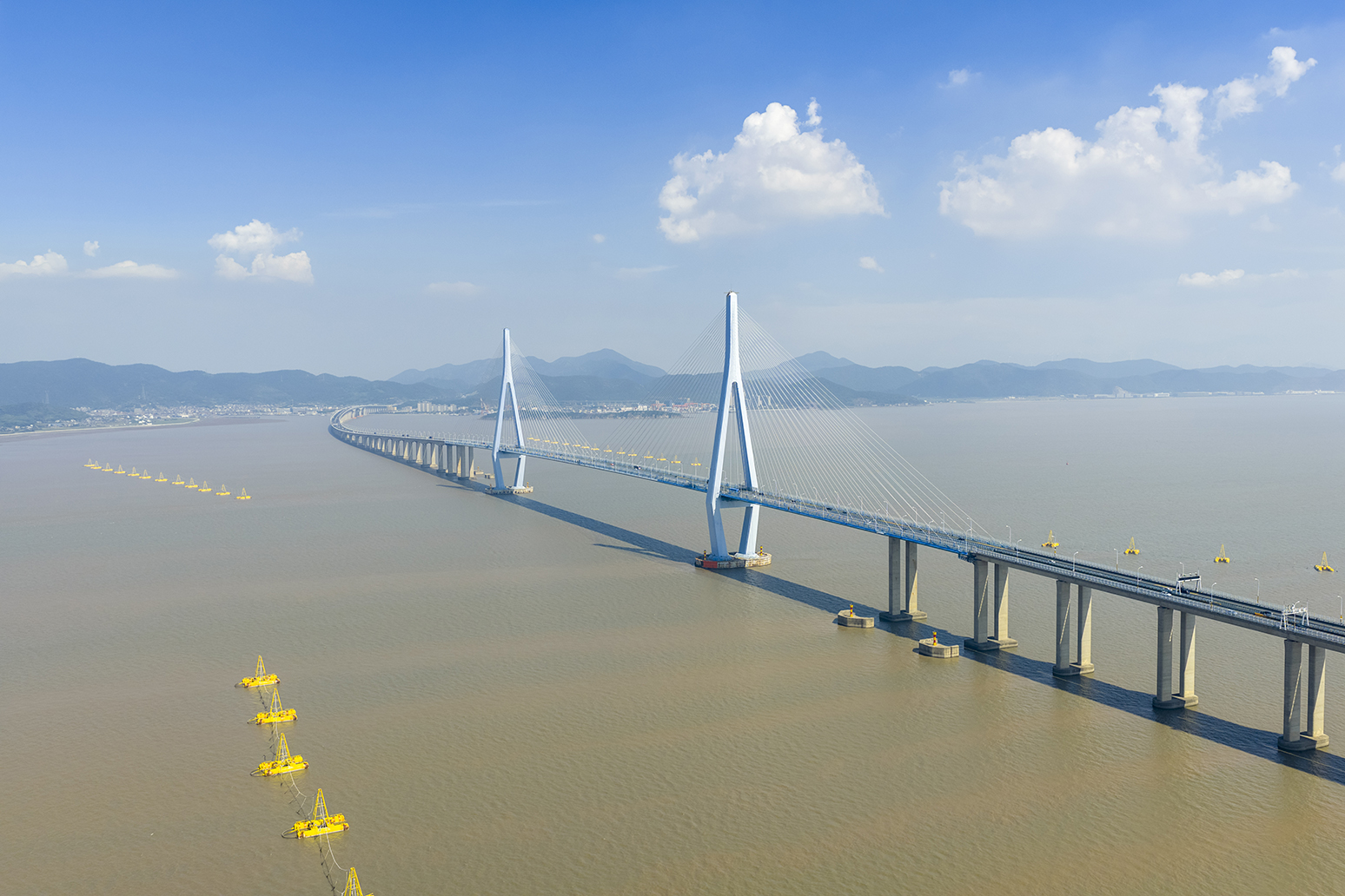
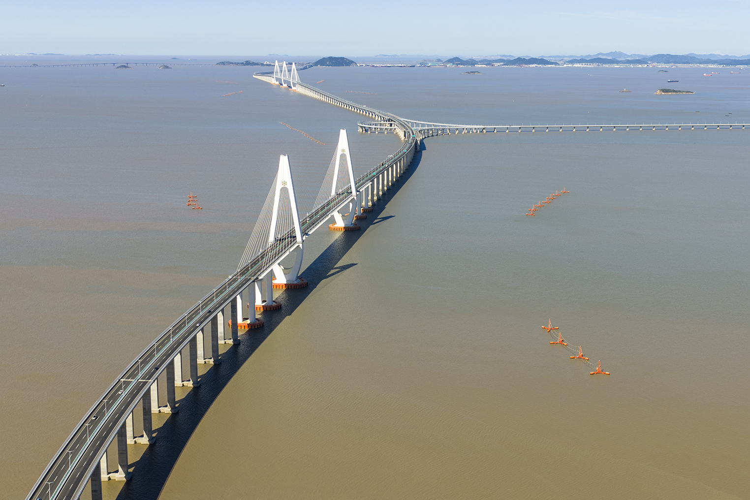
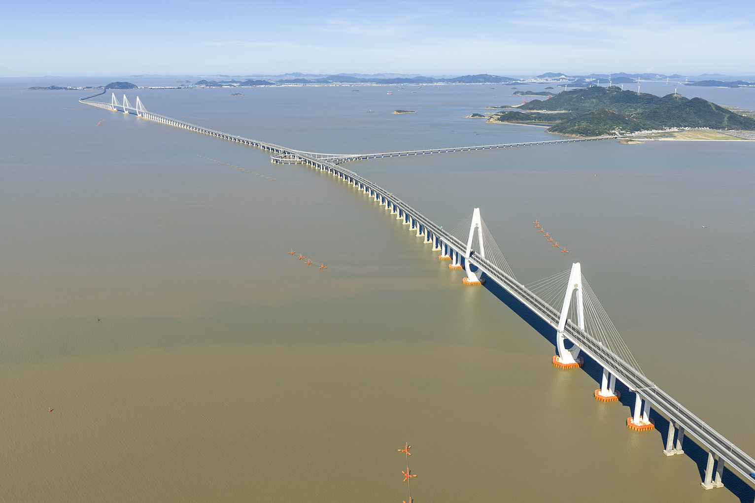
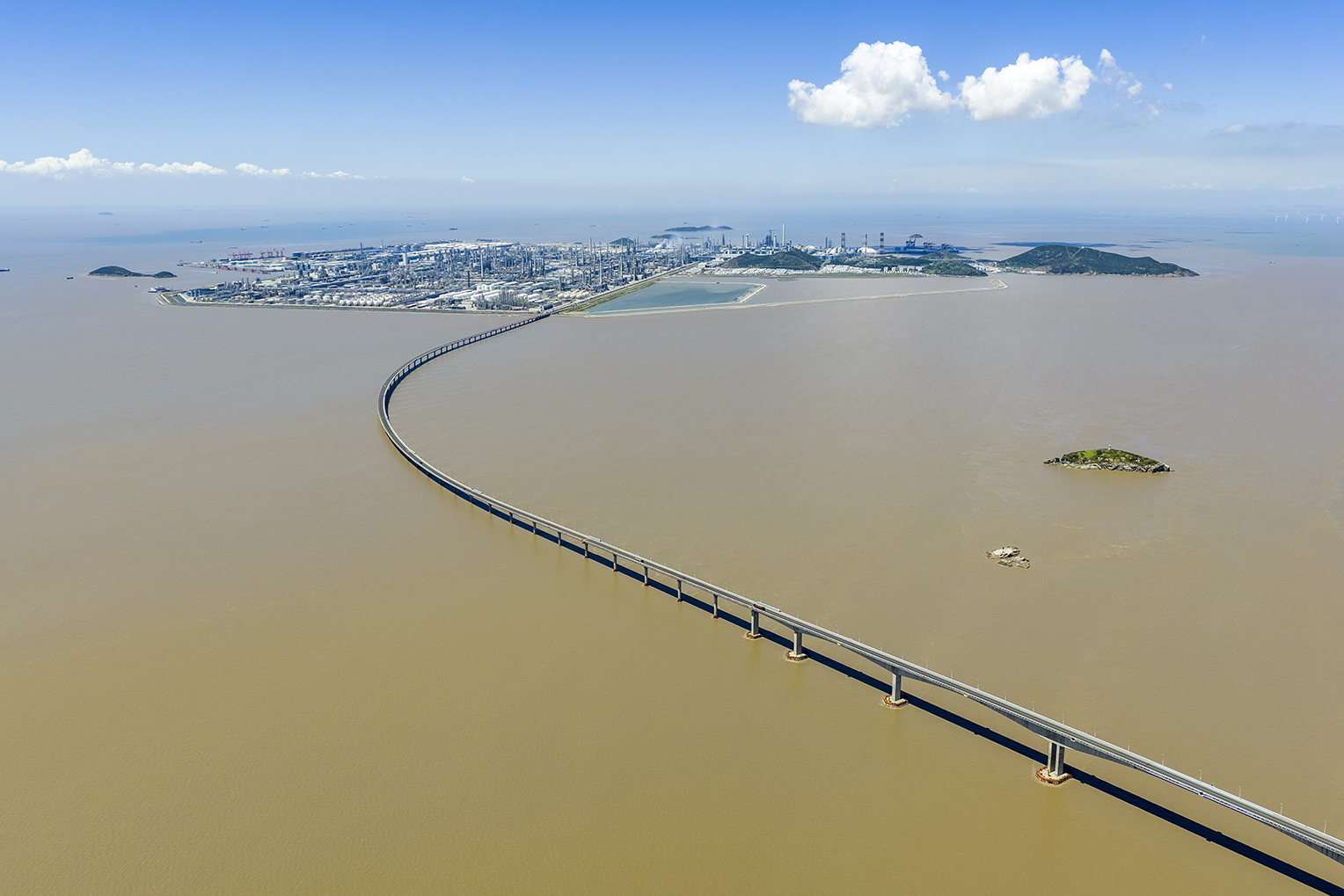
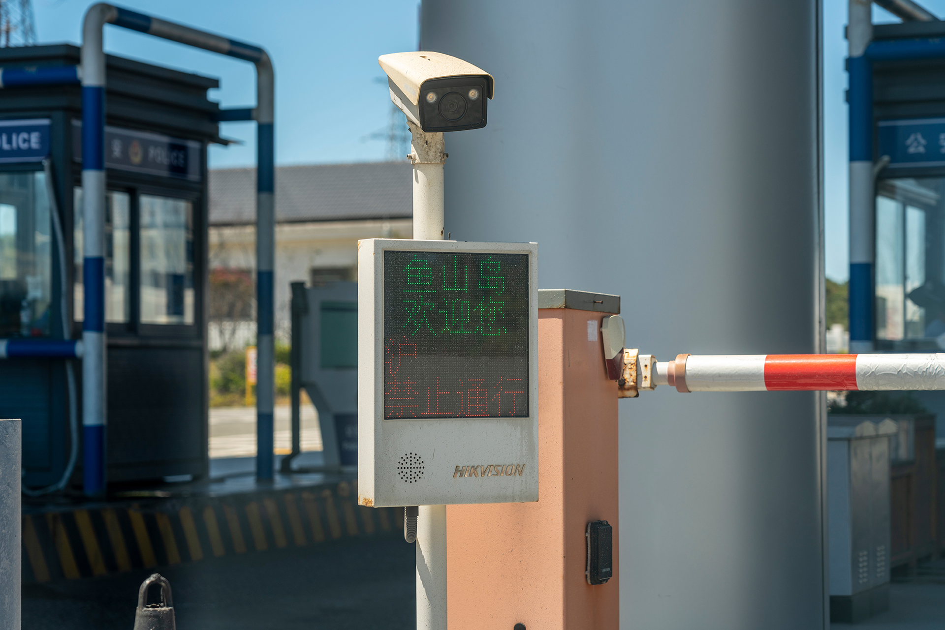
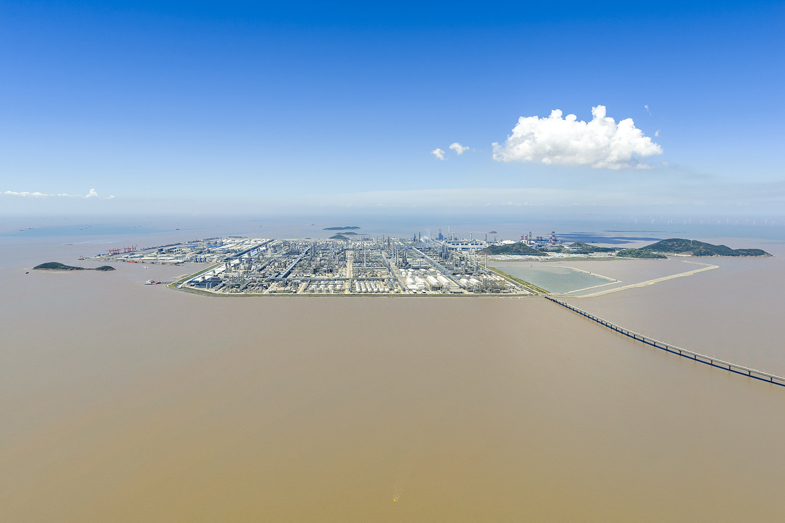
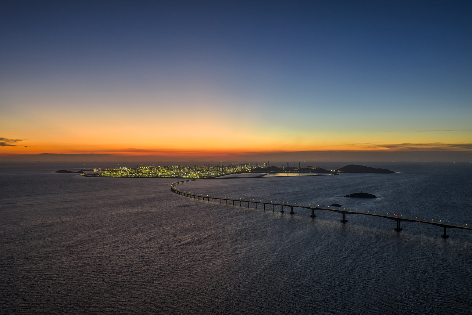
The Zhoushan Cross-Sea Bridge System is a crucial strategic component of the Yangtze River Delta integration, particularly in the integration of transportation infrastructure. The Zhoushan Archipelago, comprised of 1,390 islands, has long relied entirely on ferries for transportation to the mainland, severely restricting its economic development and resource flow. This situation changed with the successful completion of eight cross-sea bridges over 21 years: Cengang Bridge (793 metres, 2000), Xiangjiaomen Bridge (951 metres, 2004), Taoyaomen Bridge (888 metres, 2006), Xihoumen Bridge (5.3 kilometres, 2009), Jintang Bridge (21.02 kilometres, 2009), Yushan Bridge (8.2 kilometres, 2018), Fuchimen Bridge (2.01 kilometres, 2019), and Zhoudai Bridge (26.8 kilometres, 2021), with a total investment of approximately 26.8 billion yuan (2.9 billion pounds). This cross-sea bridge system directly connects Zhoushan Island and its main islands to the mainland highway network, enabling efficient cross-island allocation of port equipment, materials and personnel, and integrating previously scattered island port areas into a highly efficient super port cluster. Without this bridge system, the cargo throughput of Ningbo-Zhoushan Port would hardly have reached such an astonishing scale – ranking number one in the world for 16 consecutive years. These bridges also connect the Zhoushan Green Petrochemical Base located on Yushan Island in Zhoushan City. The base is the world’s second largest green petrochemical base, requiring a large amount of raw materials and producing chemicals products, all of which need to be closely connected to the mainland’s supply chain and markets through these bridges.
While the construction of cross-sea bridges has brought enormous economic and social benefits, it also comes with drawbacks that cannot be ignored. The bridge piers, essentially obstacles in the ocean, alter tidal currents and their speed, potentially causing erosion near the piers and accelerating siltation in other areas. This alters the natural shape of the coastline and leads to the degradation of tidal flats and wetlands. For marine life, the dense network of piers fragments their habitats, affecting the migration and exchange of migratory fish and benthic organisms. Exhaust fumes, particulate matter, oil spills, heavy metals, and other pollutants emitted by vehicles on the bridges are directly discharged into the sea with rainwater, becoming a continuous source of pollution.